
NEW ORLEANS — The forecast for Saturday will be beautiful as temperatures quickly climb into the upper 60s and top out about 70 degrees, itself.
Anticipate a warming trend into these next few days with moisture returning and a transition on easterly to southeasterly winds. Overnight tonight to early Sunday morning, there's the chance for some fog development as temperatures near dew point values. Monday, Tuesday, and Wednesday mornings will remain in the 50s or low 60s with consistent afternoons in the 70s.
Another cold front will impact our forecast for late week as more seasonal temperatures return. Models are a bit different when it comes to how cold our temperatures will actually be because of an upper trough's strength. The GFS shows colder temperatures while the Euro keeps us slightly warmer.
Regardless, both agree on a much colder forecast for next weekend into Christmas week. High temperatures will fall back into the 50s by Thursday with Friday morning showcasing 30s north of the lake and 40s south. For now, enjoy another lovely weekend.
Detailed Forecast:
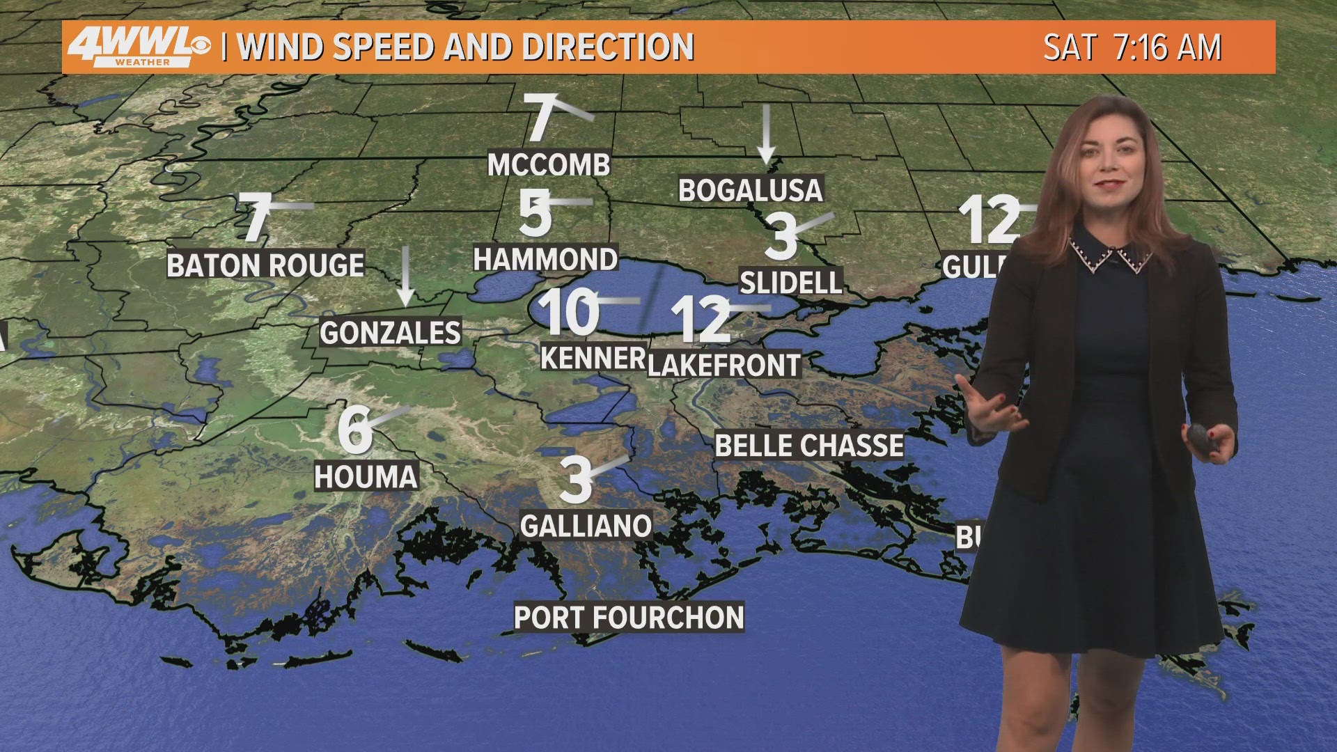
SATURDAY:
Partly cloudy. Mild, more humid. Breezy. High: 70. Winds: E/SE 8-15.
SUNDAY:
Patchy AM fog. Partly cloudy. Warmer, humid. Low: S 61, N 57. High: 72.
MONDAY:
Patchy AM fog. Partly cloudy. Warm, humid. Low: S 62, N 59. High: 75.
TUESDAY:
Patchy AM fog. Partly cloudy. Warm, humid. Low: S 62, N 59. High: 74.
WEDNESDAY:
Mostly cloudy. 20% stray showers. Warm, humid. Breezy. Low : S 59, N 56. High: 72.
THURSDAY:
30% early AM rain, then clear. Sunny, colder. Windy. Low: S 51, N 45. High: 56.
FRIDAY:
Light freeze North. Sunny and cold. Low: S 41, N 33. High: 54.