
NEW ORLEANS —
New Orleans Latest Weather Forecast
Another complex of storms moved our way early this morning and while it was weakening as it approached, it remained together enough to give many of us a decent soaking. Although the highest official amount was Gonzales at .45". For the next few days the upper pattern should keep these type of features well removed to our west and its expected that parts of Texas and the Plains will see several rounds of severe weather through the weekend and into next week.
A weak upper disturbance could trigger an isolated shower for Saturday and maybe a slightly better chance Sunday, but most will remain dry. What will really be the focus is the heat index. High temps will be climbing to the mid and upper 80s and with high humidity, feeling like the 90s!
Heading into next week, the heat will be the main focus with any day likely reaching 90° for the first time this year at MSY. On average the first 90° is May 18th. The earliest on record at the Airport is April 9, 2020 and the latest is June 30, 1983!
Detailed Forecast:
TONIGHT:
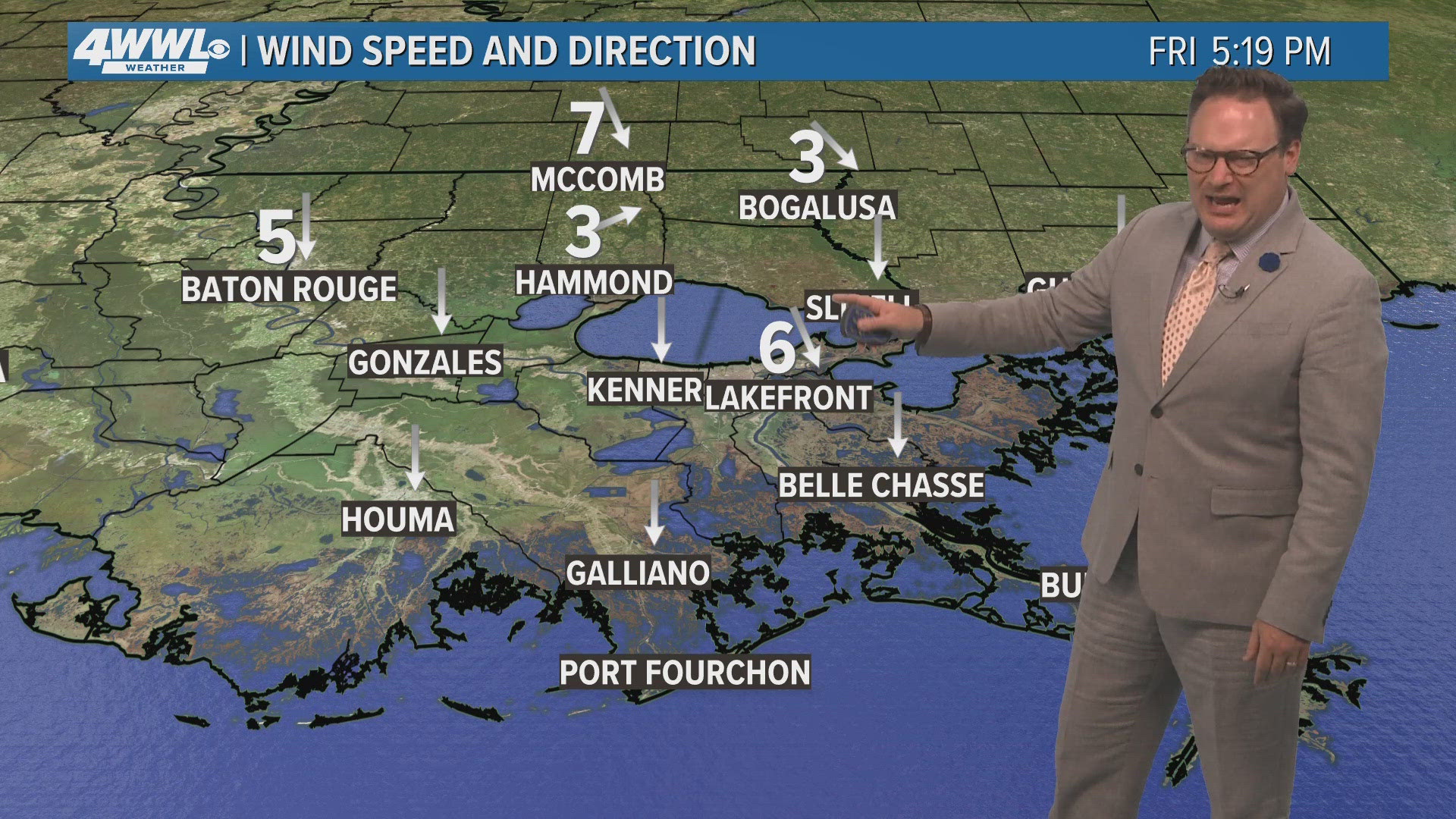
Some clearing. Partly to mostly cloudy. Patchy fog. Mild and humid. Low: S 70, N 67. Winds: SE 5-10.
SATURDAY:
Partly sunny. Hot and humid. Isolated shower. High: 86.
SUNDAY:
Partly sunny. Hot and humid. 30% spotty shower. Low: S 72, N 68. High: 85.
MONDAY:
Partly sunny. Hot and humid. Low: S 73, N 70. High: 87.
TUESDAY:
Mostly sunny. Hot and humid. Breezy. Near record heat. Low: S 73, N 70. High: 90.
WEDNESDAY:
Mostly sunny. Hot and humid. Breezy. Near record heat. Low: S 74, N 71. High: 91.
THURSDAY:
Partly cloudy. Hot and humid. Breezy. Near record heat. Low: S 75, N 72. High: 91.
FRIDAY:
Partly cloudy. Hot and humid. Breezy. Near record heat. Low: S 75, N 72. High: 92.