ST. TAMMANY PARISH, La. — The weather event that downed several trees and power lines and caused significant property damage in Mandeville Sunday night was an EF-1 tornado, the National Weather Service confirms.
According to NWS Meteorologist Phil Grigsby, the damage around Old Mandeville was caused by a low end EF-1 tornado, with winds ranging from 86-110 mph. It developed from Sunday night's strong line of storms that rolled over Southeast Louisiana and in to Mississippi.
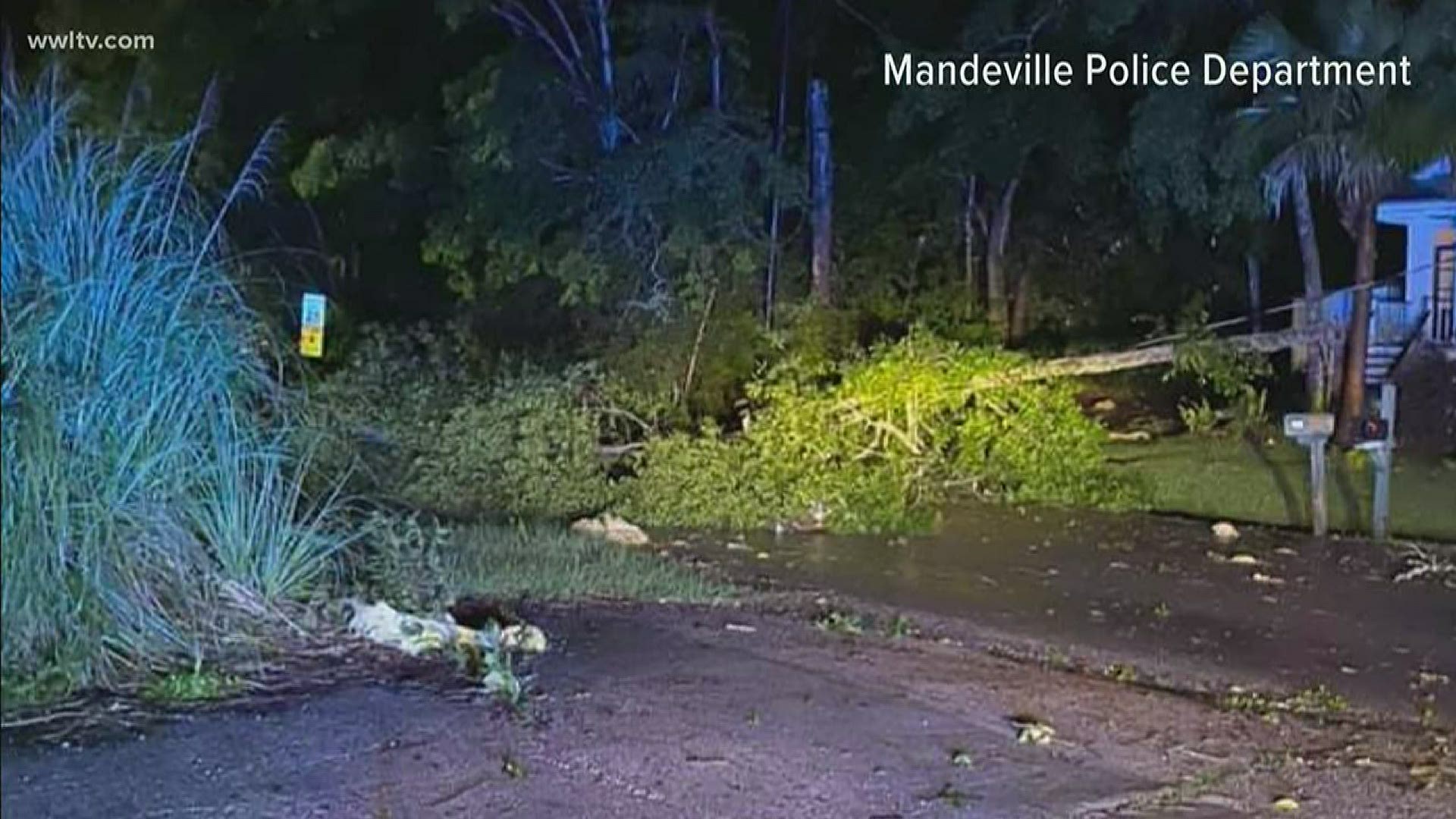
The Mandeville Police Department posted photos of the damage after the storms moved through the Northshore between 10 p.m. - 1 a.m. Officials said no injuries had been reported but both the department and public works were responding to several calls of downed trees and property damage.
The National Weather Service issued a severe thunderstorm warning and tornado watch for the area ahead of the storms this weekend, calling for winds more than 60 mph and hail in certain places. They classified the damage in Mandeville as "possible tornado damage."
MPD officials said the main affected areas in Mandeville were around Monroe and Messina streets to Galvez and Park streets.
Cleco's online outage map showed about 40 people were without power in the area as of Monday morning.
There were not any other immediate details about the track, width or other characteristics of the tornado from the NWS. That information will be released later Monday or tomorrow.
After strong to severe storms Sunday night, Monday started dry and a little cooler in the 60s to near 70 degrees. There will likely be clouds to start the day, but clearing is expected. It will be warm in the low 80s but sunny and a little less humid.
Tuesday looks nice, then clouds return Wednesday along with a few showers.
Another round of storms is set to roll in Wednesday night into Thursday morning. Rain should end by Thursday afternoon, and sunshine could return late in the day through Friday.
Yet another rain system is set for Saturday. The associated cold front could bring a cool-down into the 70s for highs on Sunday.
► Get breaking news from your neighborhood delivered directly to you by downloading the new FREE WWL-TV News app now in the IOS App Store or Google Play.