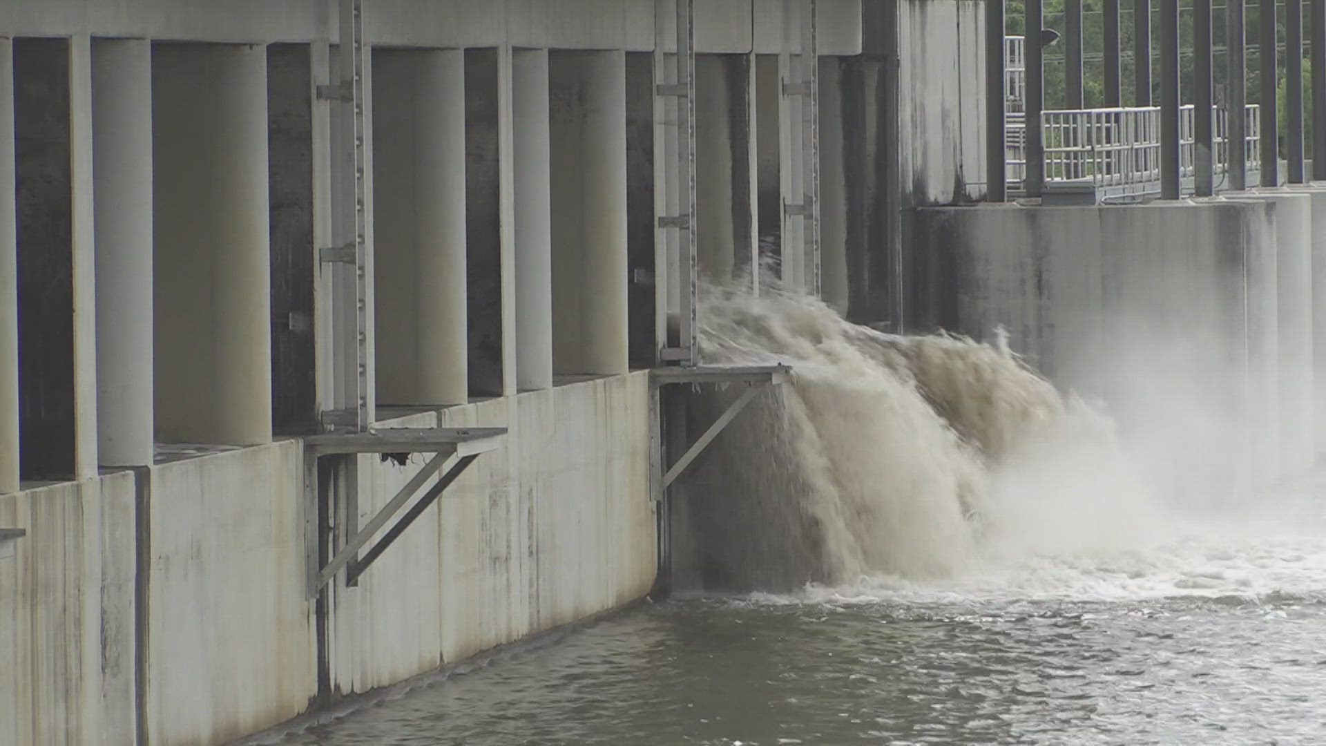
NEW ORLEANS — New Orleans City officials will outline the precautions they're taking with two storms expected to enter the Gulf of Mexico.
The press conference will take place at 1 p.m. and WWL-TV will carry it live on our website and app in this story. We'll also stream it live on Facebook.
Tropical Depression 14
Tropical Depression 14 in the western Caribbean Sea is still not very organized as it battles some dry air and wind shear. This system will continue to move northwest and is forecast to become Tropical Storm Marco and eventually a hurricane before landfall Saturday night on the Yucatan Peninsula.
HURRICANE CENTER: Latest track, radar, and spaghetti models
From there, this system will continue to track northwest across the Gulf of Mexico toward the Texas-Louisiana border. It is expected to become a minimal hurricane by landfall Tuesday night on the Gulf Coast.
Computer models hint that wind shear will be in place and could make this system into a messy storm. This wind shear will make this an asymmetric system, which could cause heavy rain to be displaced from the center and over much of Louisiana.
It is also possible that this system interacts with Laura which could cause Tropical Depression 14 to slow down or weaken. There is still plenty of uncertainty with Tropical Depression 14's projected track and intensity. Expect many changes to the forecast over the weekend
Tropical Storm Laura
At the same time, Tropical Depression 13 has strengthened into Tropical Storm Laura just east of the Northern Leeward Islands. It is expected to move into favorable conditions for additional strengthening soon. This is actually 80 miles south of the 7 AM update.The storm will ride along the Greater Antilles Islands, which will be very important to the track and intensity.
HURRICANE CENTER: Latest track, radar, and spaghetti models
If this system stays over water, it will have a better chance to get stronger as it moves toward the Florida Straits. But, if it moves over the islands, it will likely be much weaker. This is something we will have to watch closely this weekend.
Once Laura passes the Bahamas, forecast models show it moving across the Florida Keys and into the Gulf of Mexico. It will then be steered along the western edge of high pressure in the Atlantic Ocean, turning this storm north into the eastern Gulf.
It is now forecast to make landfall Wednesday morning along the Northern Gulf Coast.
There is still plenty of uncertainty with this track and intensity of the system. It is possible that Laura will interact with Tropical Depression 14, which could cause the system to turn more north, or north-west. Once it passes the Greater Antilles, we will have a better idea of where this system will track.
Lastly, there is a tropical wave about to come off Africa on Friday. It has a medium chance to develop this weekend as it sits over the far eastern Atlantic. Models want to keep this system, if it develops, out at sea.


