NEW ORLEANS — Public officials in and around the Greater New Orleans area are giving several press conferences to update the public on the impacts of Hurricane Ida, which will make landfall late Sunday.
Louisiana Gov. John Bel Edwards declared a state of emergency on Thursday in anticipation of the storm's impact.
Hurricane Ida is forecasted to make landfall as a category 3 hurricane, impacting Southeast Louisiana. Officials in the area have already begun anticipating Ida's impacts by urging the public to prepare for the storm.
New Orleans Mayor LaToya Cantrell and other city leaders will hold a second Friday press conference on the city's response to the storm at 5:30 p.m.
St. Bernard Parish officials, led by parish president Guy McInnis, held a press conference at 12:30 p.m.
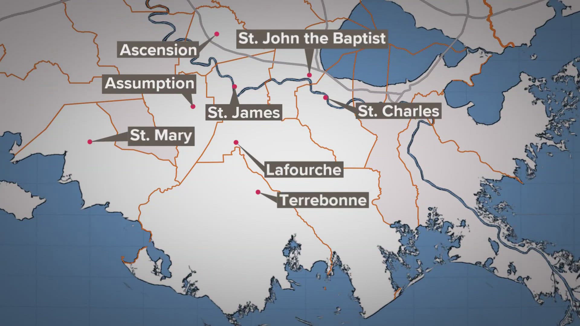
St. Charles Parish officials held a press conference on Hurricane Ida at 1 p.m.
Jefferson Parish President Cynthia Lee Sheng held a press conference at 2 p.m. Friday.
St. Tammany Parish officials held a press conference at 2:30 p.m.
Gov. Edwards will hold a press conference addressing the storm's impact at 4:30 p.m.
Hurricane Ida is growing stronger at a rapid pace. The storm officially became a hurricane shortly afternoon. Maximum winds are now at 75 miles per hour.
The National Hurricane Center says Ida is showing hallmarks of a rare, rapidly intensifying storm that could speed across warm Gulf waters and slam into Louisiana as a major hurricane on Sunday.
Hurricane Ida:
Watches and Warnings:
- A hurricane watch is in effect from Camera, La. to the Mississippi-Alabama border, including metropolitan New Orleans.
- A tropical storm watch is in effect from the Mississippi-Alabama border to the Alabama-Florida border.
- A storm surge watch is in effect from Sabine Pass to the Alabama-Florida border.
A hurricane watch is typically issued 48 hours before the anticipated first occurrence of tropical-storm-force winds, conditions that make outside preparations difficult or dangerous.
Latest Forecast:
As of Noon Friday, Tropical Storm Ida continues to get stronger. Maximum sustained winds have increased to 75 mph.
Ida will enter the southern Gulf of Mexico near Cuba by Friday night and is expected to rapidly intensify this weekend.
The National Hurricane Center forecasts the storm making landfall in southeast Louisiana on Sunday afternoon to evening as a Category 3 hurricane with winds of 120 mph. However, it is always advised to plan for a category higher as there is always uncertainty with a tropical system intensity.
Regardless of that uncertainty, we need to be prepared for a potentially rapidly intensifying storm in the Gulf of Mexico. The waters are deep and warm and wind shear will relax over the Gulf. That, combined with a decent outflow will allow for the storm to grow in the atmosphere. All of this could lead to a major hurricane by landfall.
Wind, rain, and storm surge will all be threats. We are expecting conditions to worsen late Saturday and throughout Sunday. Prepare now.
Impacts on Southeast Louisiana
On Saturday, we will see hit-or-miss storms through the afternoon, but then squalls will move in late Saturday night. We still don't expect widespread issues through Saturday night, but rounds of rain will start to filter in.
Ads By Connatix
By Sunday, we will be watching Ida bear down on the Gulf Coast. Sunday morning, conditions will start to go downhill near the Louisiana coast as Ida moves in.
Ida is expected to make landfall Sunday afternoon to evening near Terrebonne Parish as a Category 3 hurricane. Conditions will go downhill Sunday with the worst of the storms expected Sunday late afternoon and into the evening.
Winds will decrease as Ida moves inland, but areas from New Orleans and to the west could experience 80+ mph winds. The Northshore could see winds of 60-80 mph.
Storm surge could reach 7-11 feet Sunday evening. The lakes could experience 2-5 feet rise. Heavy rain will also be a threat with perhaps some areas seeing more than 10 inches of rain.
By Monday, Ida will likely still be in the region as it moves to the north into Central Louisiana and Mississippi. We'll likely still see some rain and windy conditions.